Radar Remote Sensing
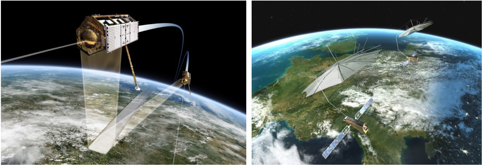
Radar remote sensing is a powerful tool to observe the Earth and other planetary bodies independent of weather and sunlight illumination. By deploying the radar on a moving platform,
a large virtual antenna can be formed along the platform’s trajectory by combining the radar echoes from a set of subsequently transmitted pulses. This synthetic aperture enables the acquisition of high-resolution radar images with metric or even decimetric resolution from remote sensors such as satellites, airplanes or UAVs. By combining multiple radar images acquired from slightly different angles, it is also possible to acquire digital elevation models by cross-track interferometry or to measure the internal 3-D structure of semitransparent volume scatterers by SAR tomography. The combination of radar images acquired at different times permits, moreover, the measurement of tiny deformations with millimetric accuracy independent of the sensor distance. The LHFT investigates, in close cooperation with the Radar Concepts Department of the Microwaves and Radar Institute of the German Aerospace Center (DLR), innovative techniques, technologies and information retrieval algorithms for future radar remote sensing systems, missions and applications. Special attention is given to the development of a new class of cognitive MIMO-SAR sensors that are, for example, well suited for the autonomous exploration of dynamic environments. These developments will be based, inter alia, on recent advances in artificial intelligence, deep learning and knowledge-based reasoning.
Link to DLR